
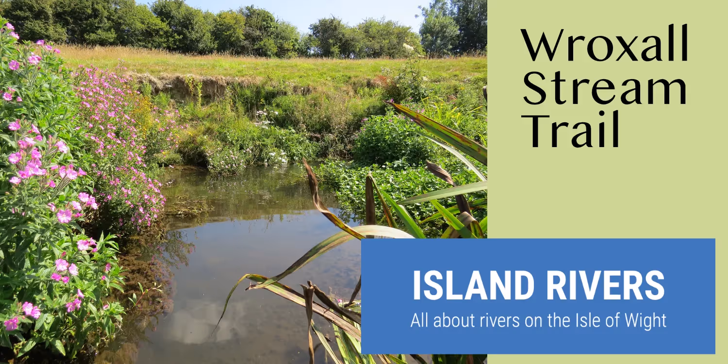
Wroxall Stream is a tributary of the Eastern Yar, the largest river on the Isle of Wight which flows from the Island’s southern downland to where it meets the Wroxall Stream at Merstone.
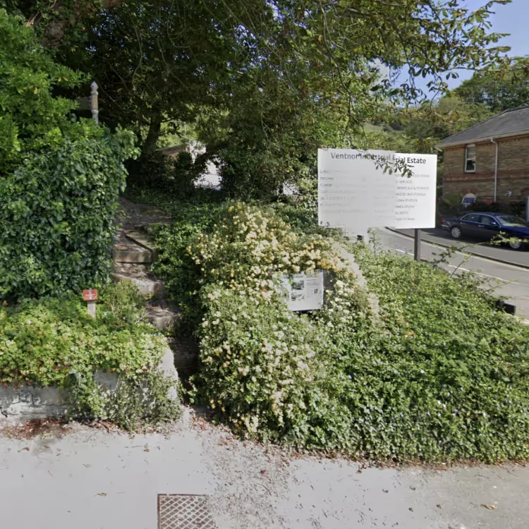
The Wroxall Stream Trail or Link is an 8 mile trail which links the town of Ventnor to the village of Merstone. It can be enjoyed as a stand-alone walk or can be linked to the much longer Yar River Trail. We start our trail in Ventnor, as this affords fantastic views, but for a shorter and flatter trail join it in Wroxall. Waymarkers will guide you along the Trail. They are attached to signposts, gates and fences.
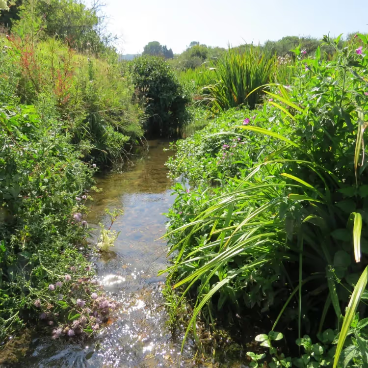
The trail then traverses pretty Wroxall Copse and follows Wroxall Stream into the village of Wroxall. From here it heads to the Isle of Wight Donkey Sanctuary.
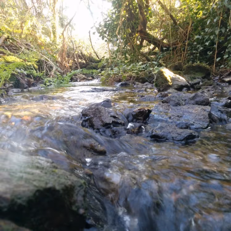
The Trail then follows the meandering river through farmland, before heading away from the watercourse for a while. It rejoins it again as it passes through water meadows before it finally joins the Eastern Yar at Budbridge.
This is the end of the trail but from here you can walk on to Godshill (cafes and buses – 1.25 miles), to Merstone (bus stop - 1.0 mile) or to Horringford (buses) follow the Yar River Trail for 2.4 miles.
Island Rivers has produced a leaflet that includes a map and concise directions for following the Wroxall Stream Trail. It is also downloadable here:
Wroxall Stream Link – directions [VIEW PDF]
Wroxall Stream Link – map [VIEW PDF]


